February 14th, 2015
Transportation
#2,296
A nation of handouts
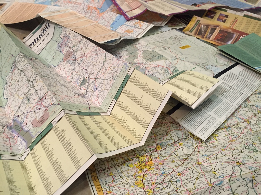
Years ago, I started to collect government-issued road maps and atlases, procuring them for free mostly by stopping by roadside welcome centers and signing their guestbooks. Cartotourism requires a bit of tact: you don’t just waltz in and demand a government handout; you have to fein profound interest in the captivating state you’ve just entered. (Under the “Purpose of Visit” column: “Just passing through.”)

Admittedly it’s a bit perverse that I would care so much about the free map amid all the signs proudly advertising free coffee, Coke, or orange juice. But evidently I’m not alone. For me, the maps proved useful during road trips, even after a GPS device displaced the family radar detector. After hours of counting cows and spotting barn ads along the most remote stretches of I-65, even the highway department could somehow keep me entertained. Something about the way they managed to cram so many names and symbols onto one large sheet of paper.

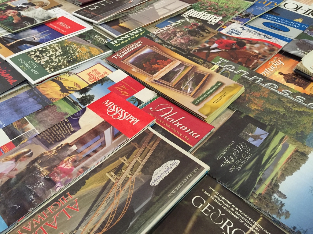
This summer, the collection grew to 58 specimens issued by 27 states, four national parks, four counties, plus Ontario and the former Metro Toronto. Some are nearly 30 years old and have the tears to prove it. The collection sports two official bike maps, a beautiful “agritourism” map, and a completely bilingual map. (Ontario’s is half in French; Louisiana’s wishes it were.) Naturally, the two maps of Texas are by far the largest in my possession. Over the years, I’ve also lost a few maps, including one that proclaimed, “There’s More Than Corn in Indiana!” Indeed: I picked it up at a rest stop nestled amid soybean fields.
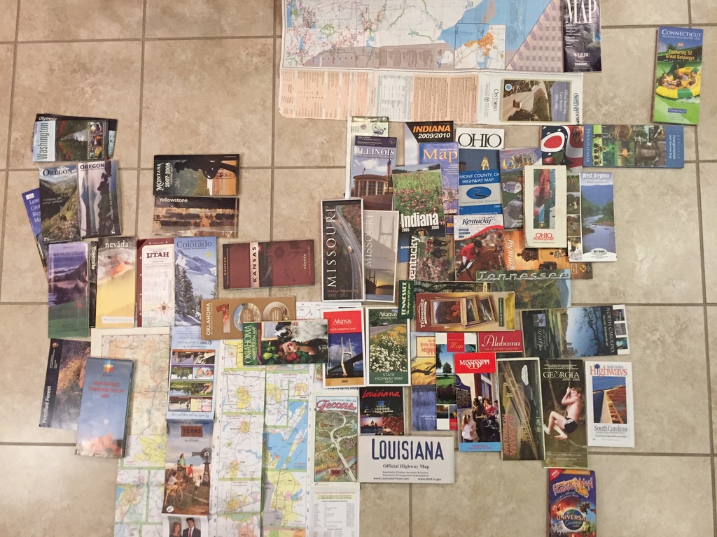
Occasionally, I try to do something more interesting with the collection than keep it in a burgeoning shoebox. This time, I made it into a single U.S. map, fashioning states out of the maps they issued. It’s a map made of maps:

You’ll notice that the arrangement is rather uneven. My collection is heavily skewed towards the Southeast, mostly because I traversed it almost annually during my childhood, but also because the West and New England are quite stingy when it comes to maps. I must’ve discarded California’s map; it was just a page in a travel guidebook. And the only “welcome center” I could find in Rhode Island was a Mobil station selling Mobil maps.

Perhaps a more interesting project would be to spread out all these maps and stitch together a mosaic of the U.S. It’ll have to wait until I can find enough floor space to unfurl Texas.
TrackBacks
TrackBack URL: <http://panel.1ec5.org/mt/mt-ping.fcgi/1698>
3/ 3/2015 @ 10:55 PM
Minh’s Notes
Mapbox
Today, I started at Mapbox, a startup focused on advancing open data and GIS technology.
1/ 1/2017 @ 12:42 AM
Minh’s Notes
Minutes from the last minutes of 2016
A blog post authored on December 31st is all but guaranteed to be a year in review. But I’ve procrastinated on updating this blog for well over a year, so you’ll get more than you bargained for.
5/21/2017 @ 4:36 PM
Minh’s Notes
Finding Wilson Boulevard
About 18 years ago, my family took advantage of Labor Day weekend to make our first day trip to Chicago, to finally see the bustling Vietnamese community whose clearance we had happily bought for years.
6/ 6/2020 @ 11:28 PM
Minh’s Notes
The main course
Who am I to comment on the terrible things that keep happening in this country? Me, I’m just someone who’s lived a sampler platter of a life.